
")

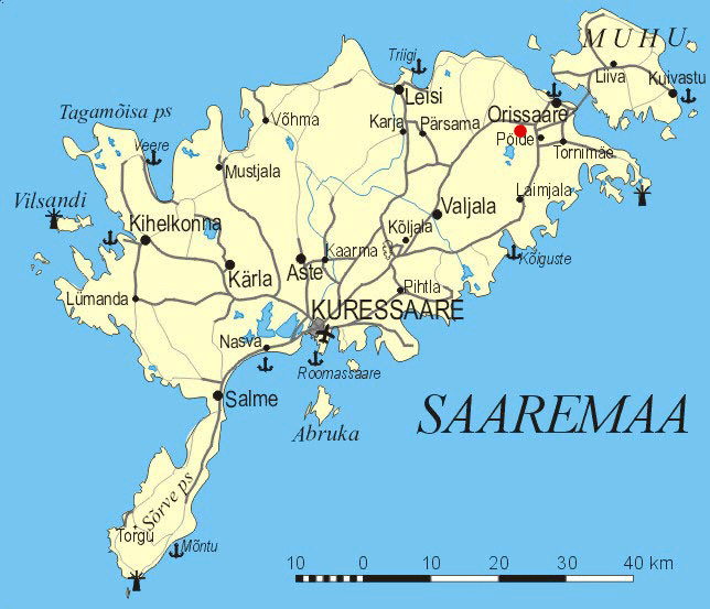
Saaremaa, also called Saare, German and Swedish Ösel, Russian Sarema, island, Estonia. It is the largest of the islands in the Muhu archipelago that divides the Baltic Sea from the Gulf of Riga. The island is low-lying and is composed largely of limestones and dolomites. Some of the places with poorer soils are characterized by the alvary—poor bushy vegetation, frequently stony and rocky areas, and occasional pine forests, used mainly as natural pasture. The northern and western parts of the island have numerous low hills and ridges, while the eastern and southern regions are lower and more fertile. The island was occupied in 1227 by the Brothers of the Sword, who founded a bishopric there. It came under Danish (1559), Swedish (1645), and Russian (1721) rule before becoming part of Estonia in 1918. On the south coast is the main city, Kuressaare (Kingisepp). Saaremaa is connected by causeway to the neighbouring island of Muhu. Economic activities include agriculture, livestock rearing, and fishing. Area island, 1,032 square miles (2,674 square km); county, 1,128 square miles (2,922 square km).
